ABOUT US
Earth Company for Territorial Studies (BEET)
In the name of God, the Most Merciful, and may peace and blessings be upon our Prophet Muhammad.
We extend our sincere thanks and deep appreciation to Mr. Ali Ezzeddine, Mr. Mohamed Ben Mansour Ezzeddine, Mr. Tawfik Yousfi, Ms. Somia Boulila, Ms. Oum El Kheir Ezzeddine, and Ms. Jomaa Horchani for their moral support and valuable contribution to the realization of this project.
This website is the result of scientific research conducted by its founders, two academics and researchers specialized in territorial engineering, working at the Environmental and Production Research Laboratory of Idrissi Company for Spatial Consultations – Sfax:
Mohamed Ali Ezzeddine: Specialist in territorial studies, natural risks, and sustainable development; graduate of the Faculty of Letters and Human Sciences; originally from the Kerkennah Islands – Sfax.
Asma Yousfi: Graduate and lecturer at the Faculty of Human Sciences; originally from the Governorate of Sidi Bouzid – Tunisia.
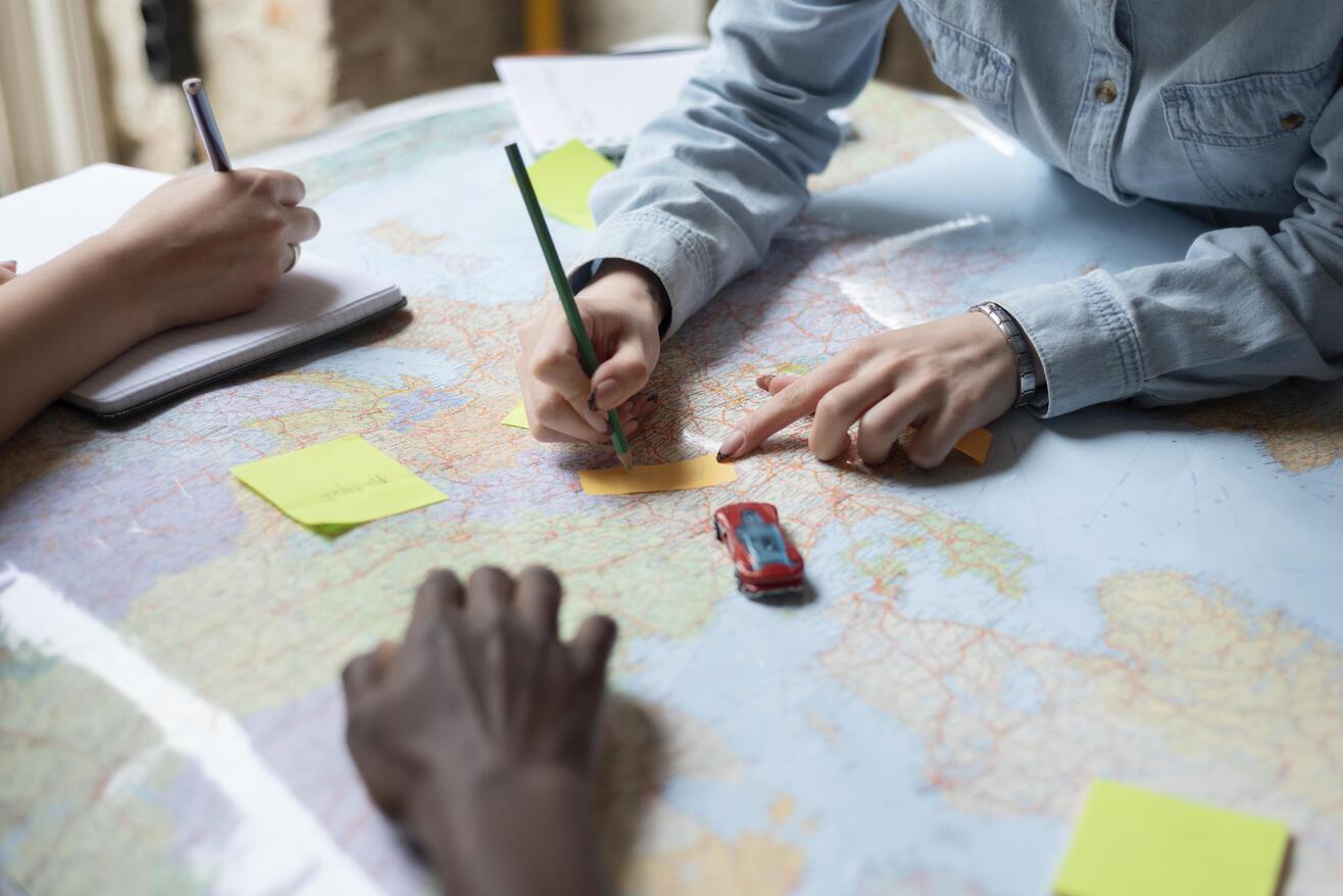
The work presented is based on the use of satellite data, Geographic Information Systems (GIS), and advanced spatial analyses. The website offers scientific maps integrating data and marine environmental approaches intended to support analysis and decision-making.
All rights are reserved, and all data are protected in accordance with applicable laws. Please accept our highest regards.
Cartography
Specialized Services
Marine Resources
Sustainable Management

Mohamed Al-Idrissi
Al-Idrisi, a 12th-century geographer and cartographer, revolutionized cartography with his work Tabula Rogeriana , By combining Arab, Greek, and Roman knowledge . He created a world map of unparalleled accuracy for his time.
His work influenced explorers and scientists for centuries.
Today, he remains a major figure in the history of geography.
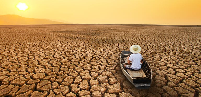
Climate Change
Climate change represents one of the most urgent challenges of our time, affecting ecosystems, economies, and communities on a global scale.
Rising temperatures, melting ice, sea level rise, and extreme weather events are its most visible manifestations. These phenomenal threaten biodiversity, food security, and water resources.
Collective and immediate action is essential to mitigate their impacts and adapt to these new realities. Awareness, innovation, and sustainable policies are key tools for addressing this planetary challenge.
OUR SERVICES
Main Services
Daily Maps
- Maps identifying optimal marine fishing areas, considering the effects of climate change.
- Maps illustrating the evolution of climate change impacts on the marine environment over time.
Environmental studies designed to ensure a decent quality of life for the current generation and to guarantee the fundamental rights of future generations.
- Natural risk analysis.
- Proposed solutions for better adaptation to climate change.
Digital marketplace for seafood products.
- Direct sale of seafood products to consumers at local fishing ports.
- Direct purchase of seafood products from local fishermen at local fishing ports.
- An easy and profitable business.